
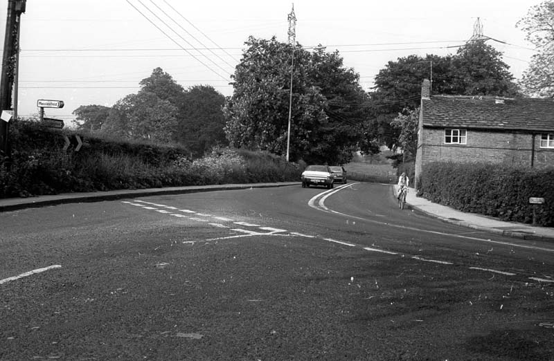
View of Ball Lane from the junction with Dumbah Lane (left) and Tytherington Lane (right) before the Silk Road was built across it just beyond the cottage. This first part of the lane remains as a no through road giving access to the cottage. The far end is a very short stub off Clarke Lane giving access to the historically important cottage.
Categories 2: Landscape
-
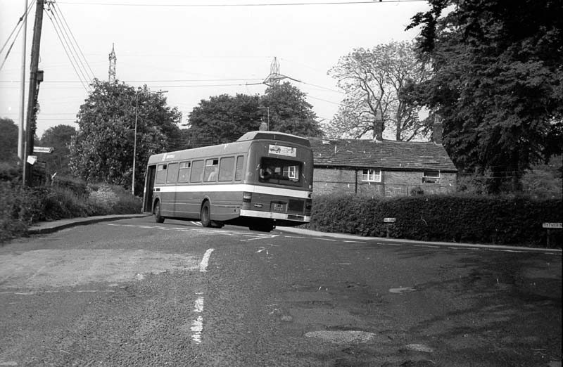
Ball Lane
Ball Lane at the junction of Dumbah Lane and Tytherington Lane before the construction of the Silk Road.
-
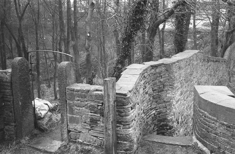
Macclesfield Canal bridge 28
Picture taken from the west side of bridge 28, Beehive, showing the steps down to the towpath and the entrance to Tinkers Clough wood.
-
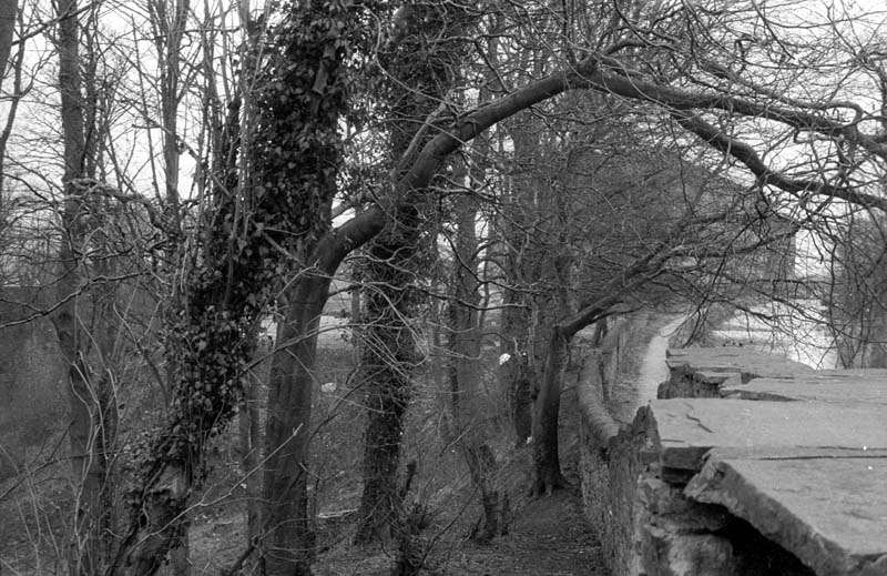
Tinkers Clough
The picture was taken from beside bridge 28 at Beehive looking down into Tinkers Clough wooded area.
-
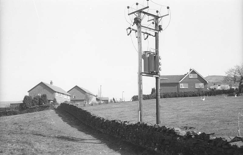
Field footpath off Hurst Lane
Field footpath from Hurst Lane (foreground) to Gleave Avenue (distance). Prior to Gleave avenue being built the path continued right through to Chancery Lane across what were known as Red Lion fields. Picture taken in 1984 by Bollington Civic Society History Group.
-
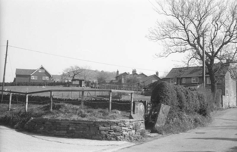
Footpath off Hurst Lane
Stone squeeze stile off Hurst Lane onto the field foot path to Gleave Avenue. Hurst Lane is an ancient roadway and the piece of hedge in the picture was centuries old. It was destroyed by the owner in the early 21st century in an attempt to move the footpath, without permission, to the edge of the field.
-
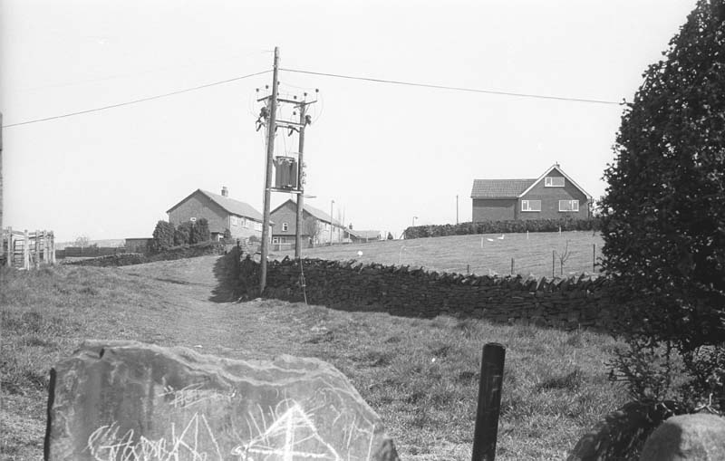
Footpath off Hurst Lane
This is the field footpath between Hurst Lane (foreground) and Gleave Avenue (distance). The picture was taken in 1984 by Bollington Civic Society History Group.
-
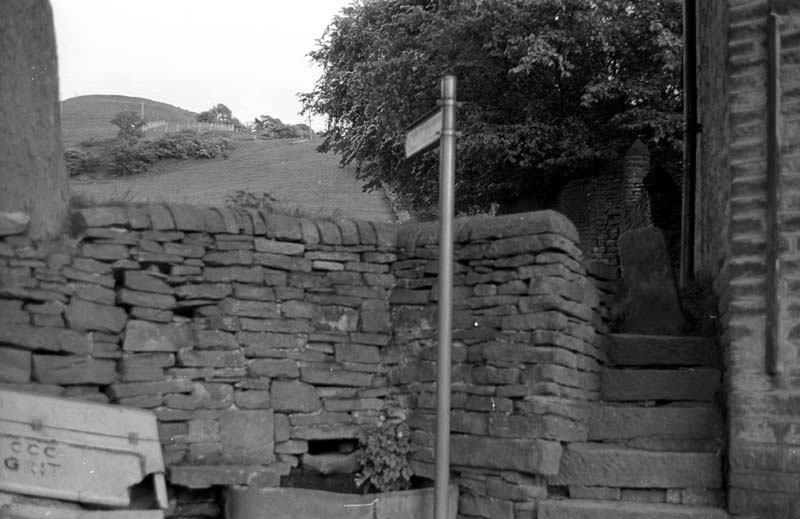
Steps to White Nancy on Cow lane
Taken by David Dewsbury of Bollington Civic Society History Group on the evening of 8 June 1983.
-
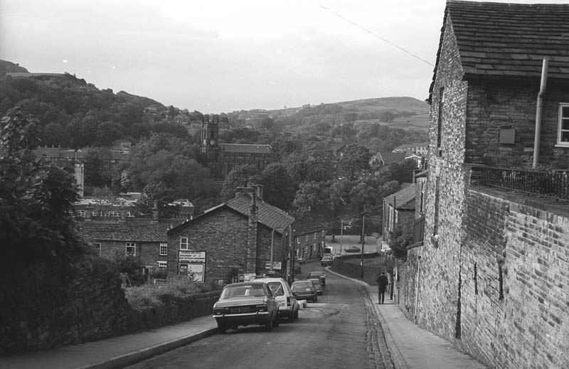
Lord Street Bollington.
Taken by David Dewsbury of Bollington Civic Society History Group on the evening of 8 June 1983.
-
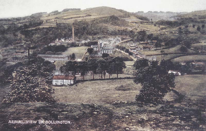
Aerial View Bollington
Part of a set of 12 tinted postcards published in a package by RAP Colts, London. See 149/1-13