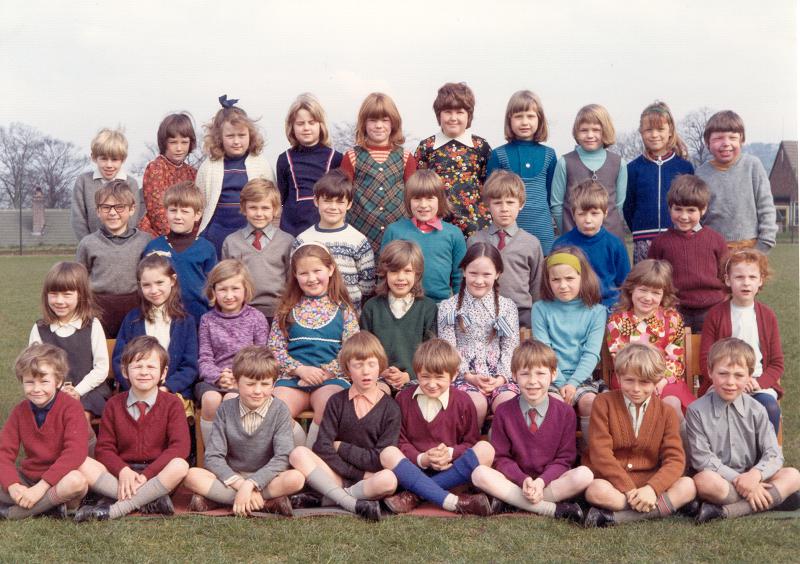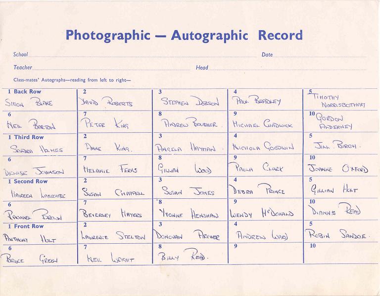
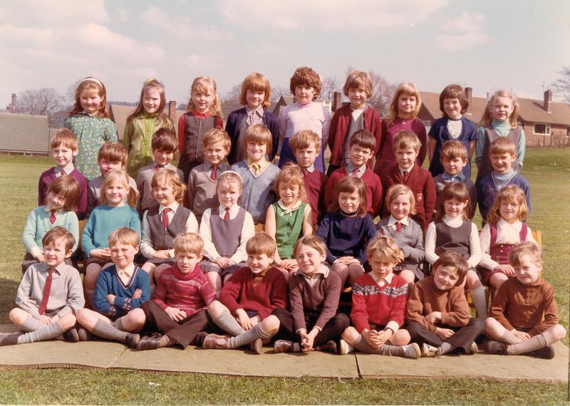
People in this picture are listed on the next picture (269-005).
Categories: Building
Building description
-
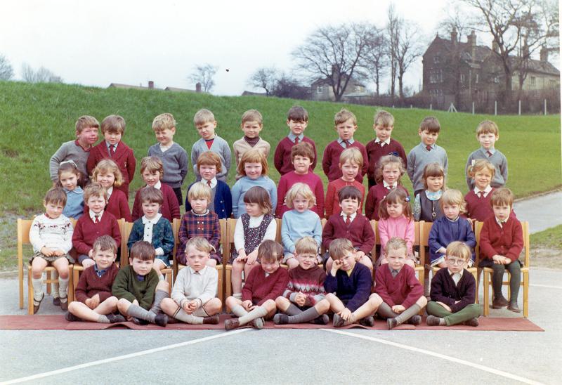
St John’s school
Peter King is 7th from left back row. All the names are given on the next picture (269-001).
-
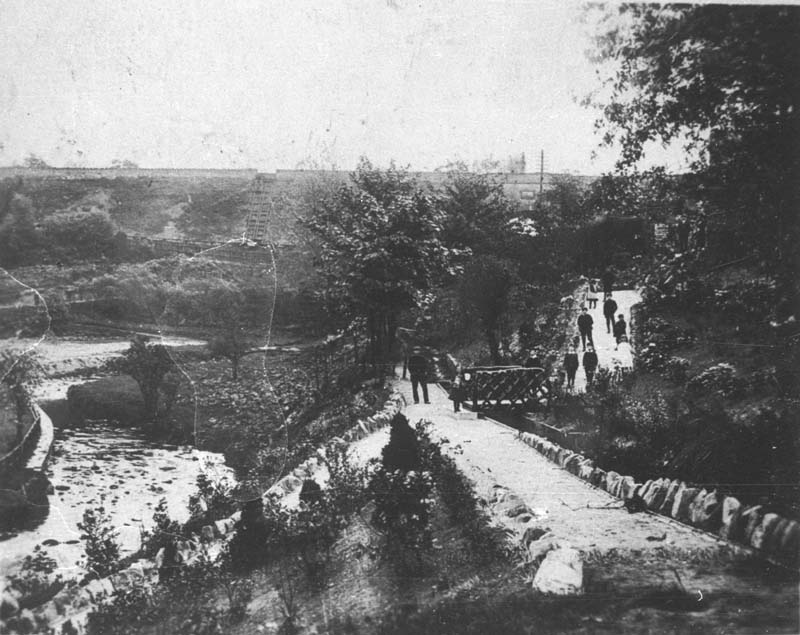
Recreation Ground
Shows the footpath in the Recreation ground between the river and Palmerston Street. The path follows the course of the mill leat – which is visible to the right of the path – which took water from the river Dean somewhere to the east of the canal aqueduct, under the embankment, and down Wellington Road to just beyond Garden Street, thence to the corn mill which stood on the river’s edge in Riverbank Drive.
The bend in the river, to the left of the picture, was later staightened out to make room for the football pitch. -
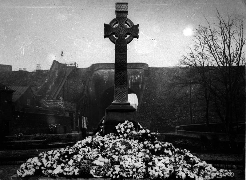
War memorial
The war memorial was built in 1920. The picture shows its adornment of flowers on the day of its inauguration.
-
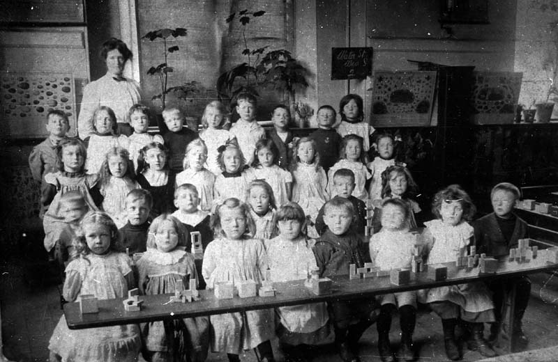
Water Street School class
This appears to be a Victorian school class, and is believed to be at Water Street. Looks like an interesting exercise in building with small bricks!
-
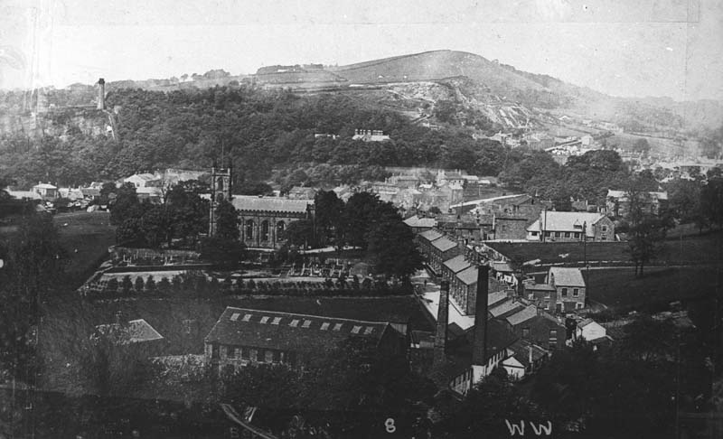
View across Bollington
View from the footpath beyond the end of Cow Lane. Note, from left, Beeston quarry with Oak Bank mill chimney on hill top; St John’s (Anglican) church; the roof top and chimneys of Oak Bank House on the hillside among the trees; bottom left, the cottage that stood where the entrance to Tullis Russell is today by the river bridge at the end of Church Street; Higher mills at the near end of Church Street; middle right, Lowther Street school, and above and to the right, St Gregory’s (Catholic) church. The Nab is the hill in the background, with quarries on its lower slopes.