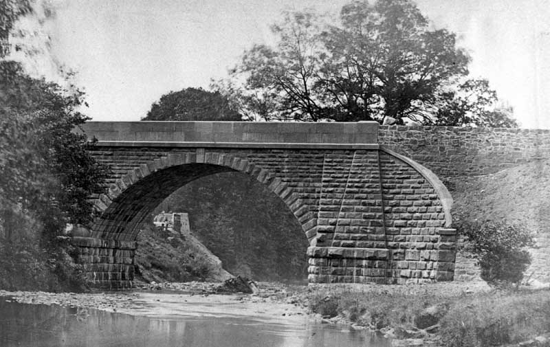
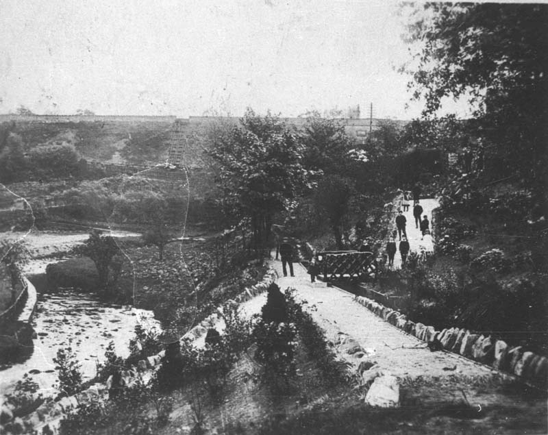
Shows the footpath in the Recreation ground between the river and Palmerston Street. The path follows the course of the mill leat – which is visible to the right of the path – which took water from the river Dean somewhere to the east of the canal aqueduct, under the embankment, and down Wellington Road to just beyond Garden Street, thence to the corn mill which stood on the river’s edge in Riverbank Drive.
The bend in the river, to the left of the picture, was later staightened out to make room for the football pitch.
Categories: River
-
Recreation Ground
-
Recreation Ground
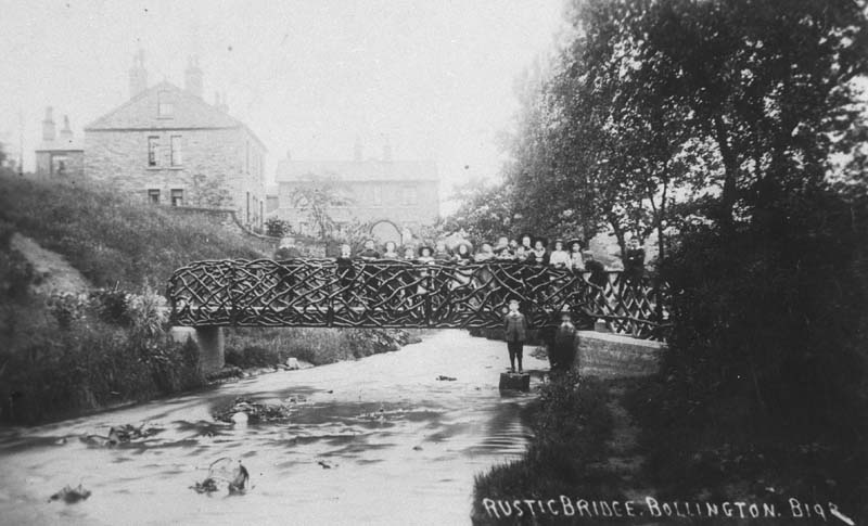
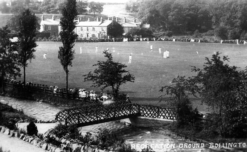
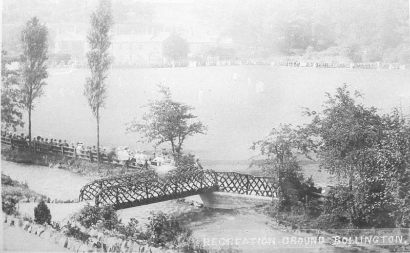
The rough wooden lattice bridge providing access from Round Gardens to the Recreation ground. There is a large audience sitting along the far side of the river, no doubt watching sport.
-
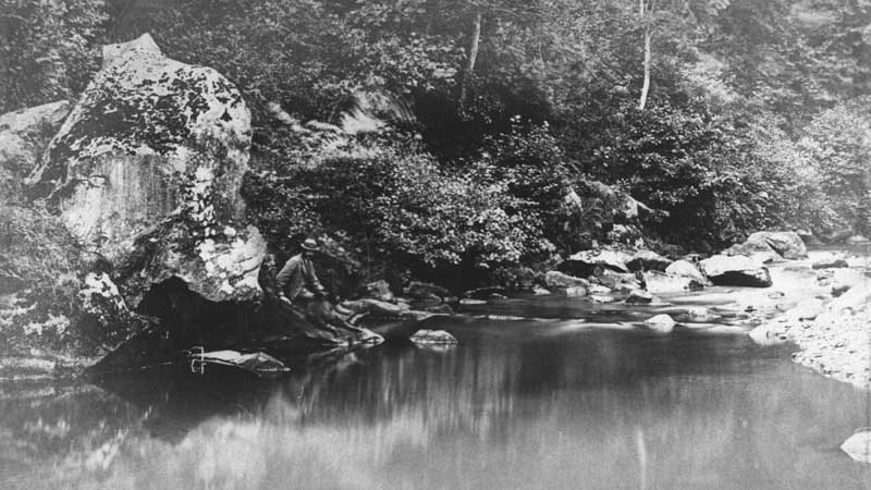
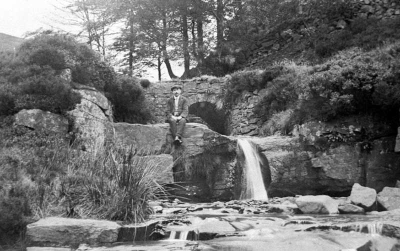
River Dane near Gigg Mill?
As many other pictures in this set are on or about the river Dane, I think this is likely to be also. STB
-
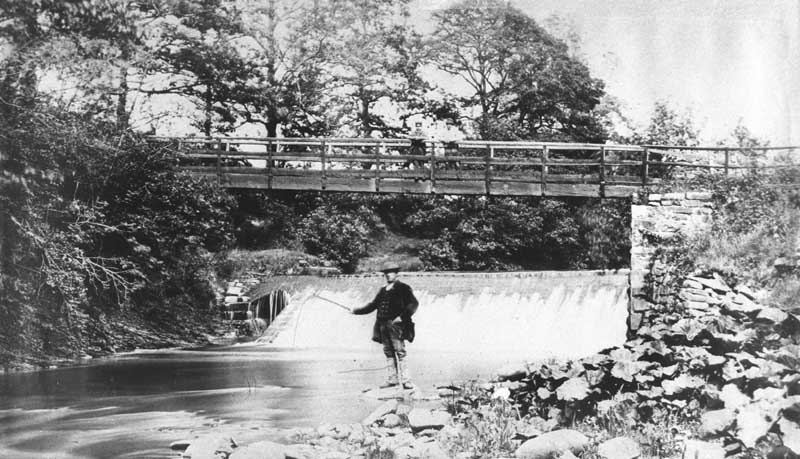
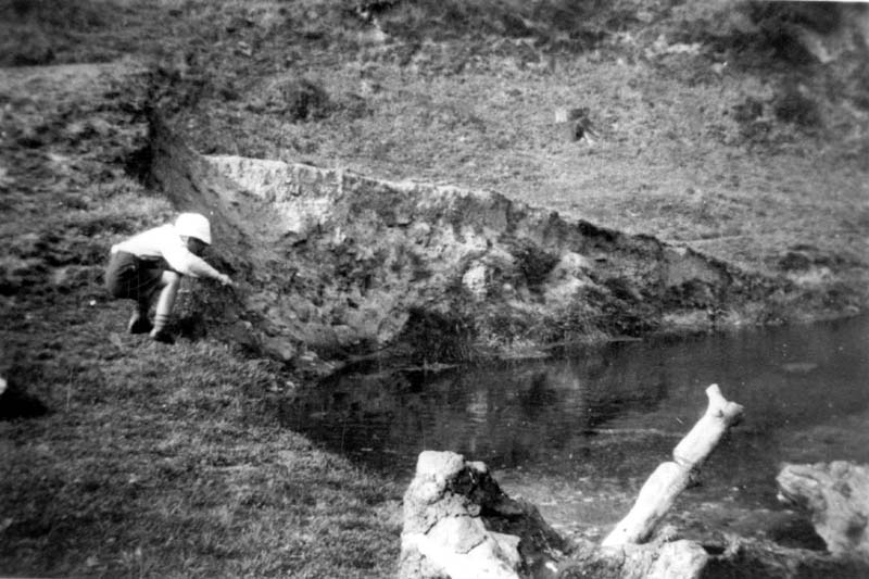
Fishing at Gigg Mill weir
This is Gigg mill weir. It is located on the river Dane about a mile below Wincle. It can only be accessed via public footpaths, the nearest road being half a mile away. The weir has been re-built in modern times. On the far bank, where the trees are in the picture, there used to be a paper making mill.