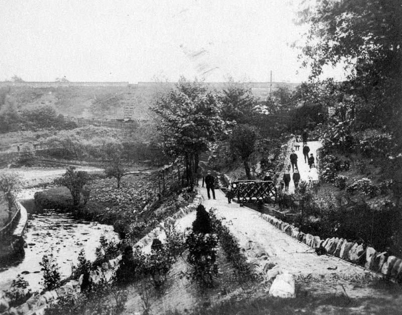
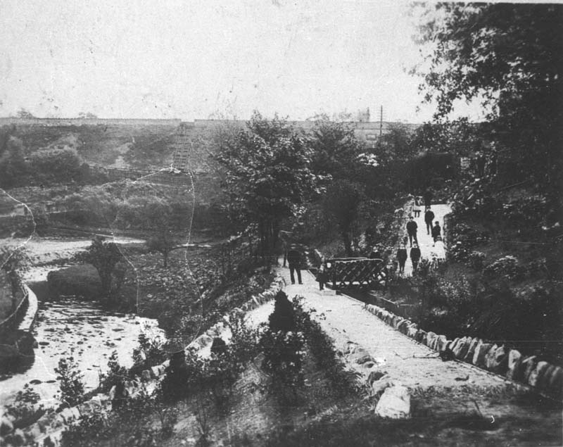
Shows the footpath in the Recreation ground between the river and Palmerston Street. The path follows the course of the mill leat – which is visible to the right of the path – which took water from the river Dean somewhere to the east of the canal aqueduct, under the embankment, and down Wellington Road to just beyond Garden Street, thence to the corn mill which stood on the river’s edge in Riverbank Drive.
The bend in the river, to the left of the picture, was later staightened out to make room for the football pitch.
Locations 2: Recreation ground
-
Recreation Ground
-
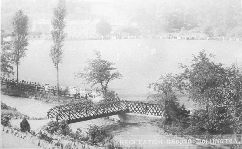
Recreation Ground
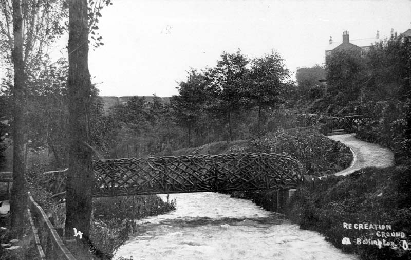
The rough wooden lattice bridge providing access from Round Gardens to the Recreation ground. There is a large audience sitting along the far side of the river, no doubt watching sport.
-
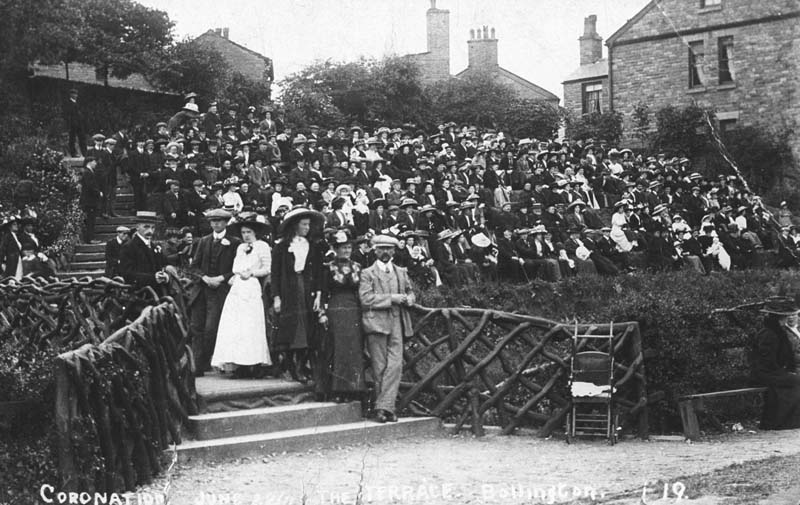
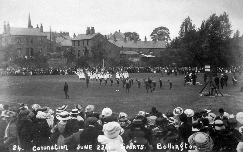
Crowd watching Coronation event on Recreation Ground
A large crowd, in their Sunday best, sitting on the terraces overlooking the Recreation Ground. While we know it was to do with a coronation (Edward VII, 1902) we do not know what the actual activity was that they were watching!
-
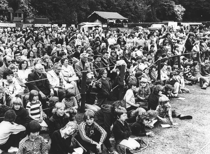
It’s a Knockout, swimming pool project
Fund raising event held to raise money for the swimming pool that was susequently built at Bollington Cross and became the Liesure Centre.
-
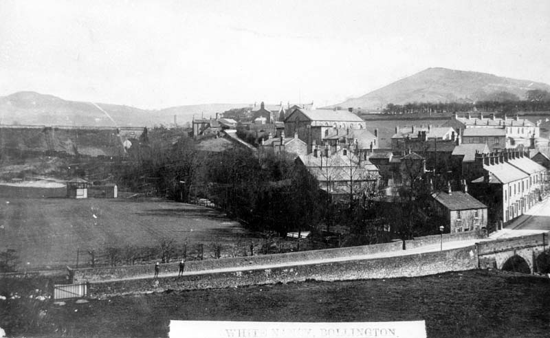
Looking over Adlington Road
View over Adlington Road to the canal showing coal shutes on the embankment. The recreation ground is in the foreground and the Large Sunday School is the prominent building to the right of centre of the photograph.