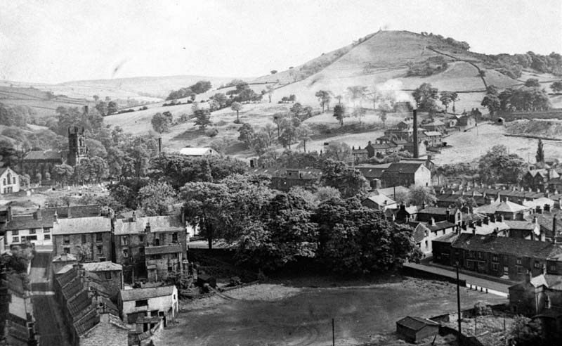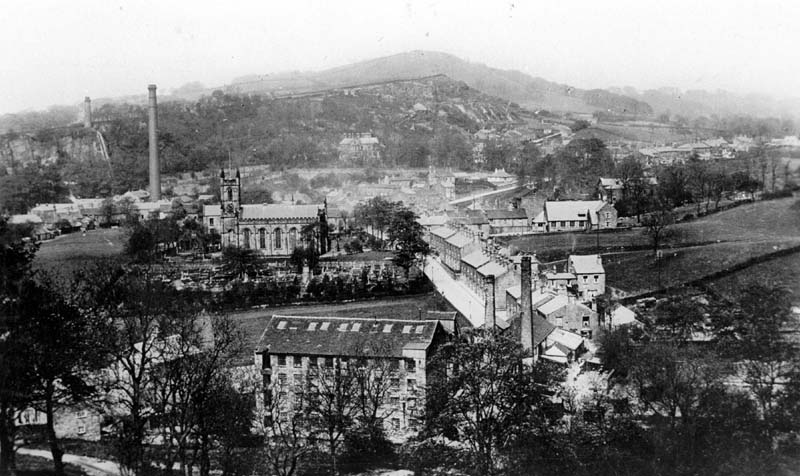
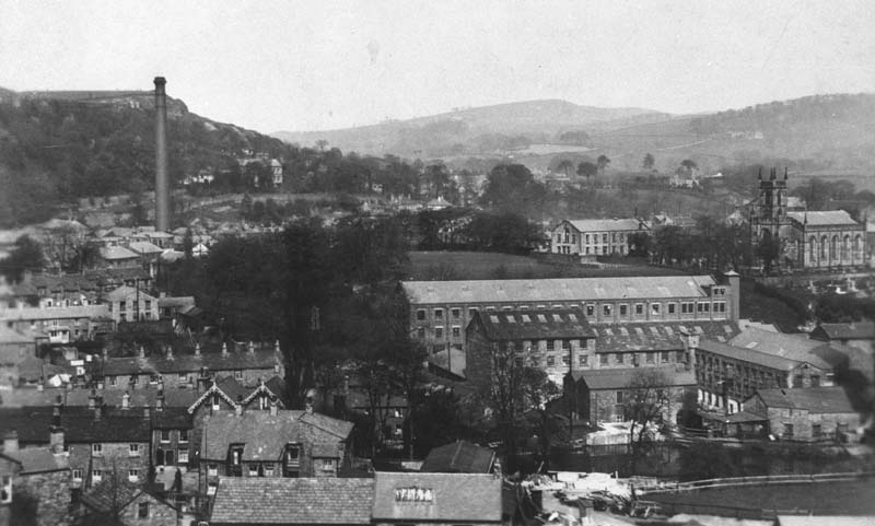
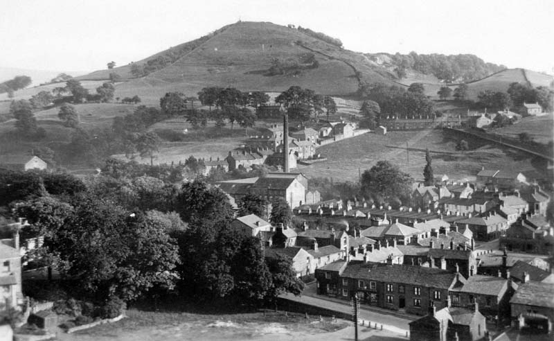
View loking South from Beeston Brow showing Palmerston Street, High street and Lord Street.
Places: Lower Mills
-
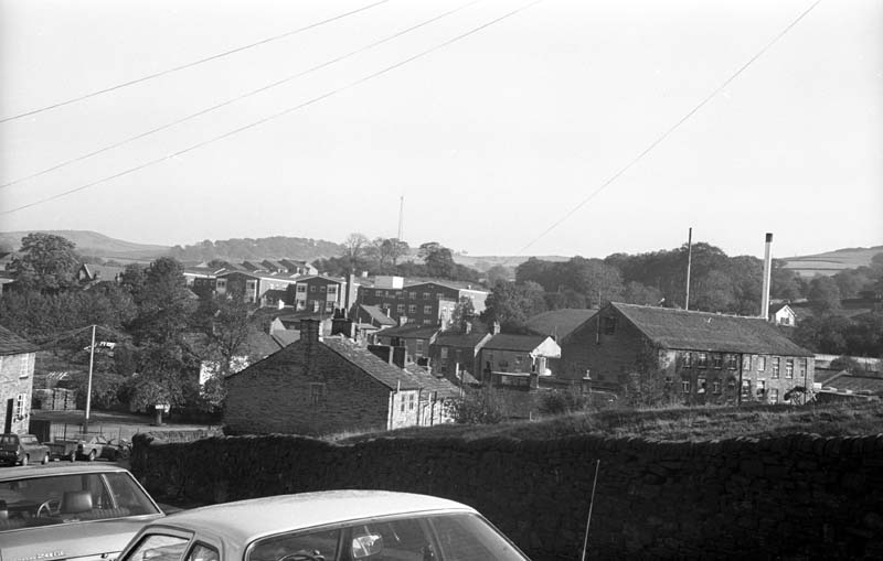
View over Lord Street
Higher Mill, then Shrigley Dyers, on the right with the grounds of Lower mill behind the fence on the left. Taken by Bollington Civic Society History Group.
-
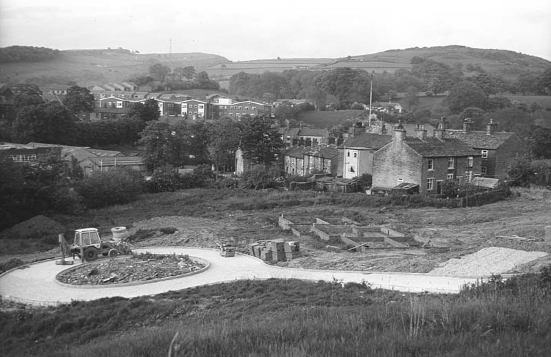
New development, Cumberland Drive
Taken by David Dewsbury of Bollington Civic Society History Group on the evening of 8 June 1983.
-
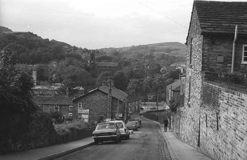
Lord Street Bollington.
Taken by David Dewsbury of Bollington Civic Society History Group on the evening of 8 June 1983.
-
St John’s Churchyard
One of a group of photographs taken by David Dewsbury of Bollington Civic Society History Group on the evening of 8 June 1983 to record the churchyard before clearance and tree planting to be carried out by the Civic Society. See 151/0-17. Colour photographs of the improvements are in the original file.
-
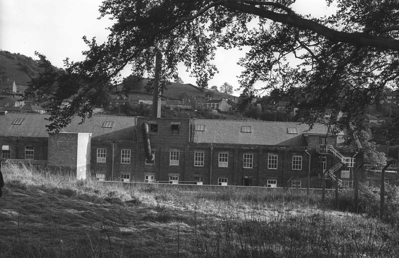
St John’s Churchyard
One of a group of photographs taken by David Dewsbury of Bollington Civic Society History group on the evening of 8 June 1983 before clearance and tree planting to be undertaken by the Civic Society. See 151/0-17. Colour photographs of the improvements are in the original files.
-
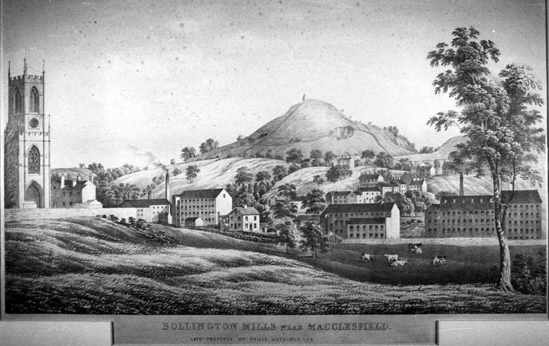
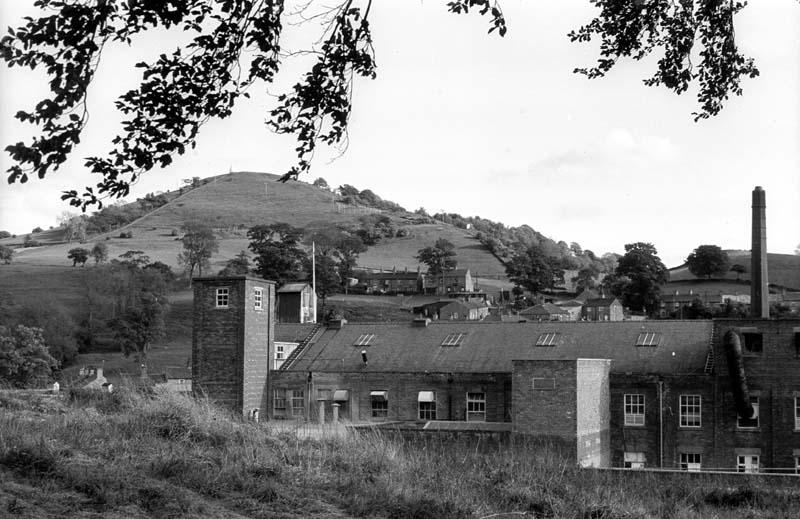
Higher & Lower Mills towards White Nancy
Inscribed ” Bollington Mills near Macclesfield late property of Philip Antrobus Esq.” Given to Dr John Coope from contents of Parrotts House, Palmerston Street. c1850