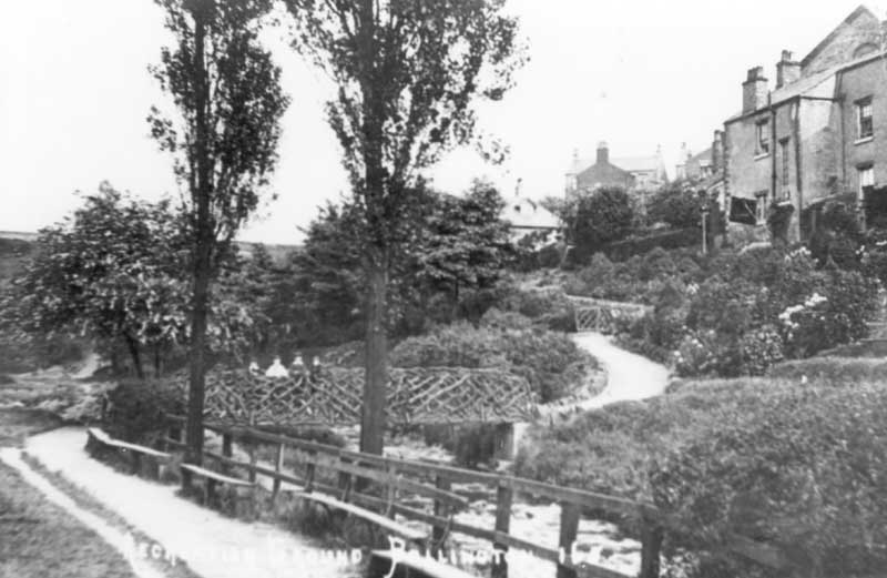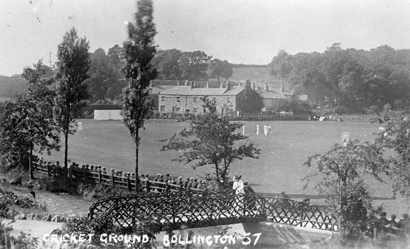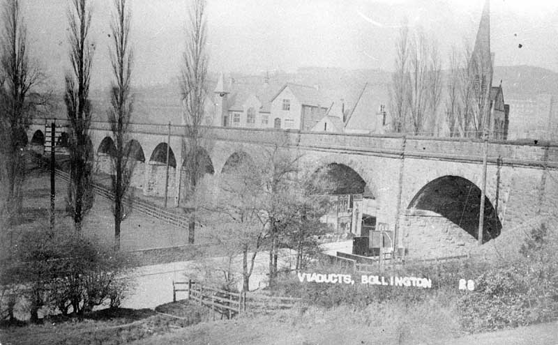
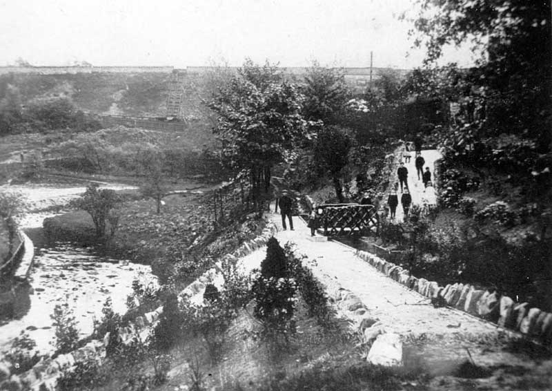
Showing the path in the Recreation Ground that once ran alongside the leat taking water to Bollington corn mill. The latter was located behind Bollington Hall Farm, approximately where the car park is in Riverside Close today. Water was taken from the river at Bridgend, though the exact spot has yet to be determined. It travelled in a culvert beside and under Palmerston Street, under the very bottom end of Clarence Road, under the canal embankment and then over the small aqueduct (today a footbridge) by the tunnel mouth. Notice also the curve in the river. This was later straightened out to make the field wide enough for the football pitch.
Categories 2: Bridge
-
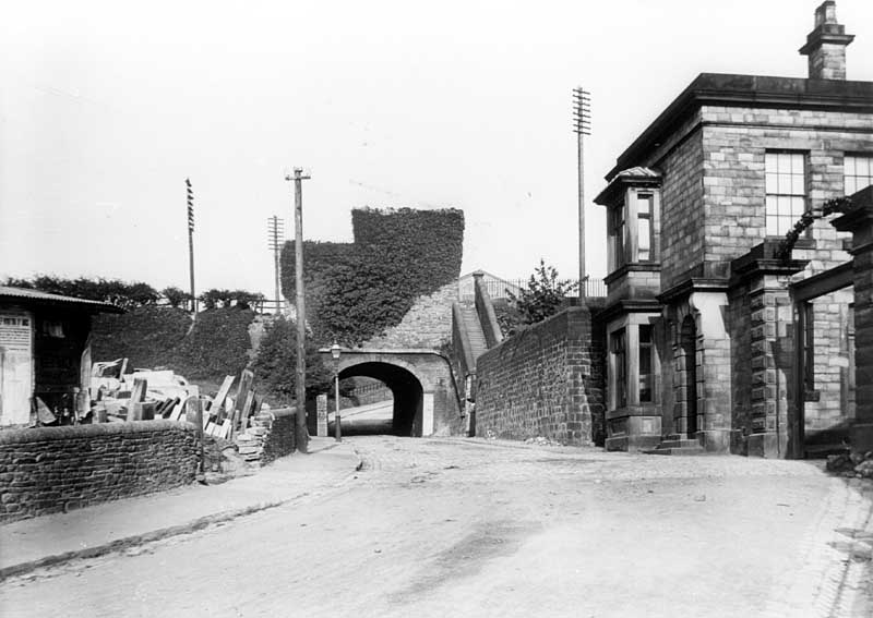
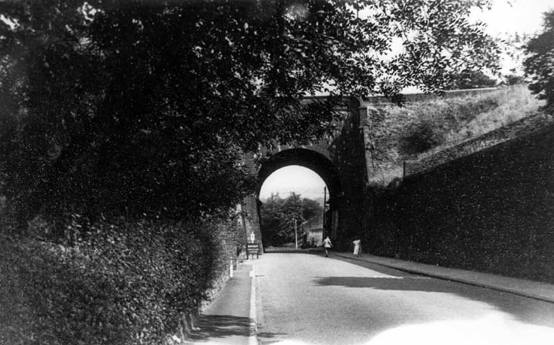
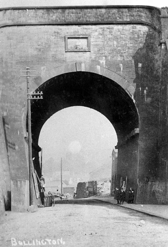
Aqueduct, Grimshaw Lane
The corner of the stone dressing yard is on the left. On the right is the gate and gatehouse to Adelphi mill.
-
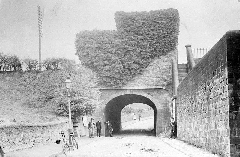
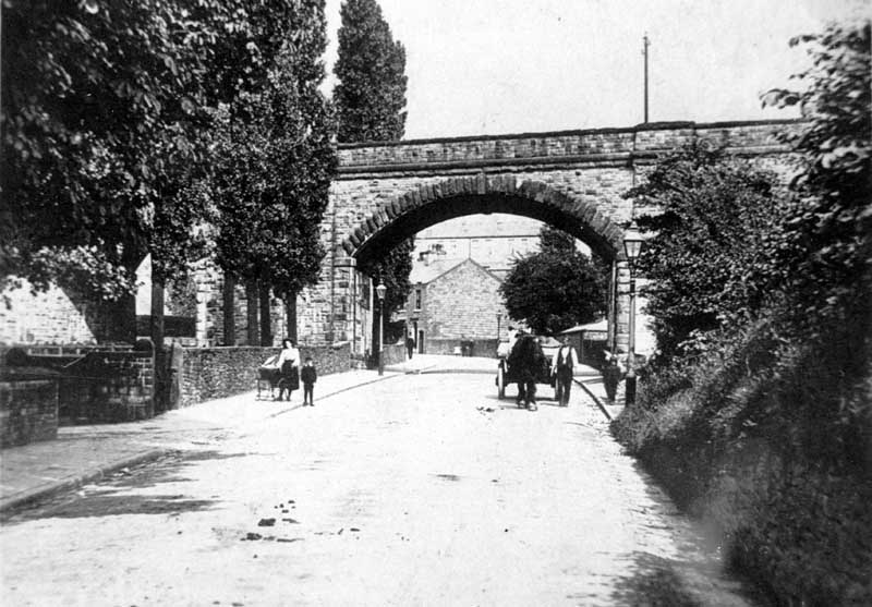
Aqueduct, Grimshaw Lane
Grimshaw Lane Aqueduct with a horse stable on top. Pictured before the traffic lights and footpath were installed.